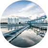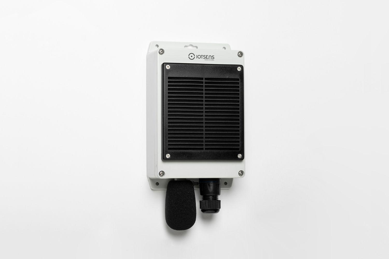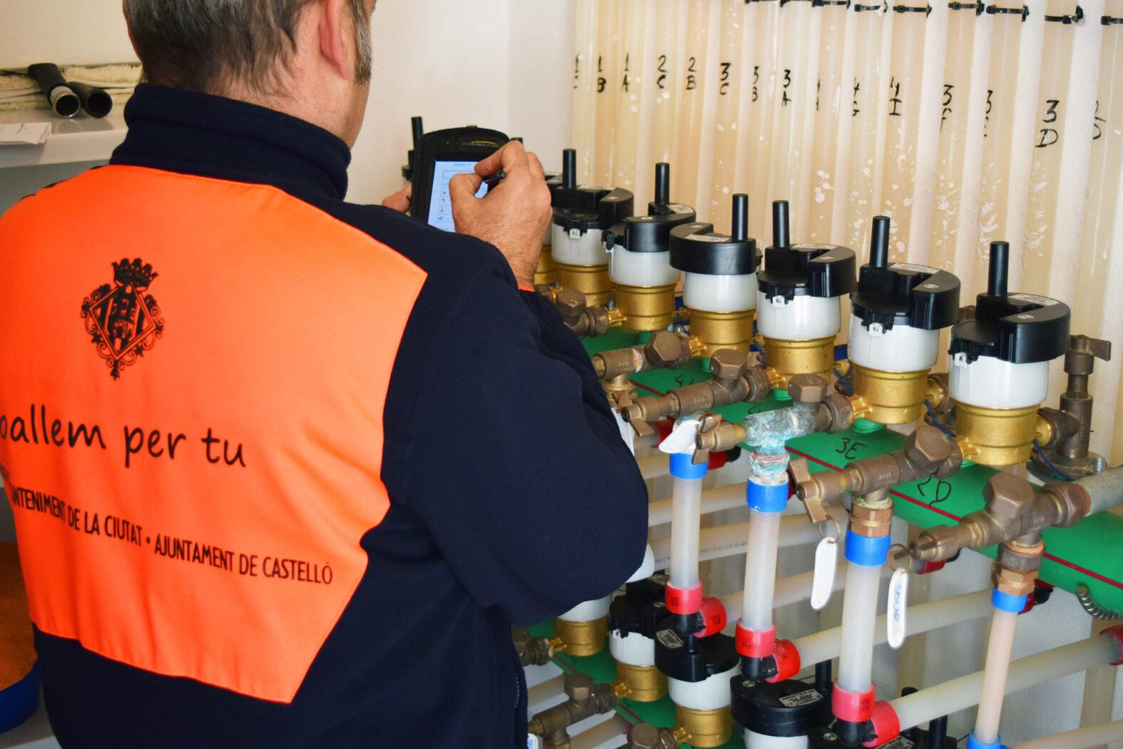
Water cycle
Connectivity
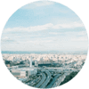
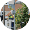
Mobility
Software
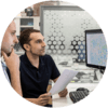
End-to-End solution that provides the information needed for smart decision making in urban environments, creating digital, connected and sustainable ecosystems.
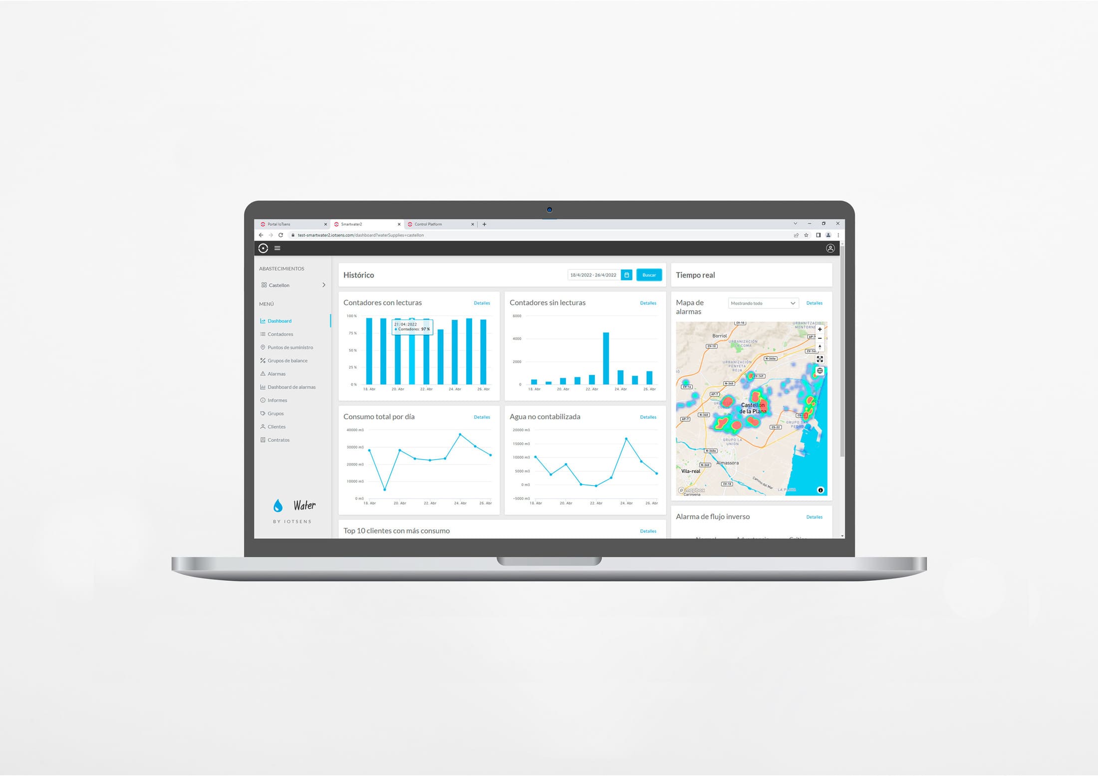
Configurable dashboard for each user showing the most relevant values about the situation of the city
Display of the position and last values measured by the devices deployed in the city.
Visualization of the relevant data about the selected device.
Generation of customizable charts to find patterns or anomalies.
Generation of alerts if a device registers a certain value.
Export data to the applications you use on a daily basis to define and generate customized reports and graphs
1º
2º
3º
4º
and specialized human support throughout the 4 stages

You can call us at 964 727 101 or if you prefer write to us at info@iotsens.com